 Studio Tecnico Michele Sozzo
Studio Tecnico Michele Sozzo
Studio Tecnico Michele Sozzo
Most renovations in Italy drift because they start from a drawing that was never accurate. A survey done properly at the beginning costs a fraction of what a wrong assumption costs later, and it gives every professional after me something reliable to work from.
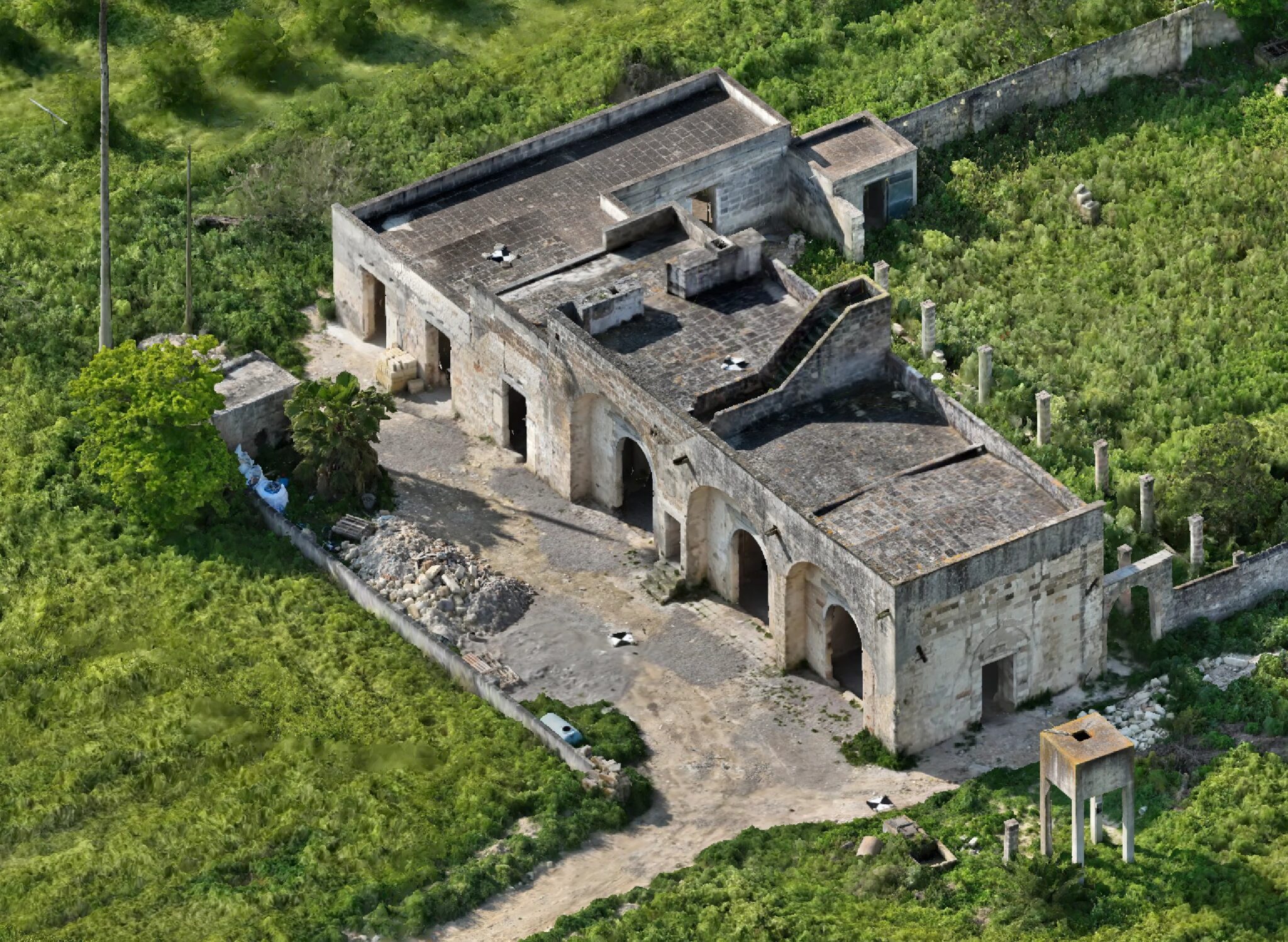
Which instrument goes on site depends on the building. A small town house does not need a drone; a ruined masseria in the middle of a field needs everything.
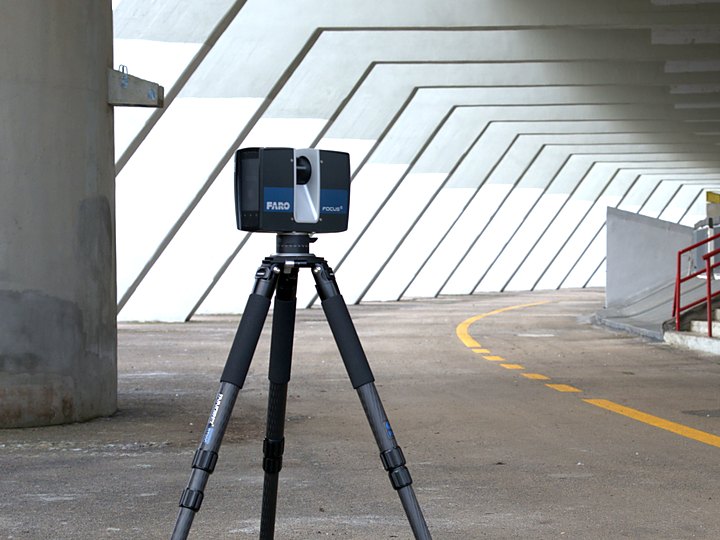
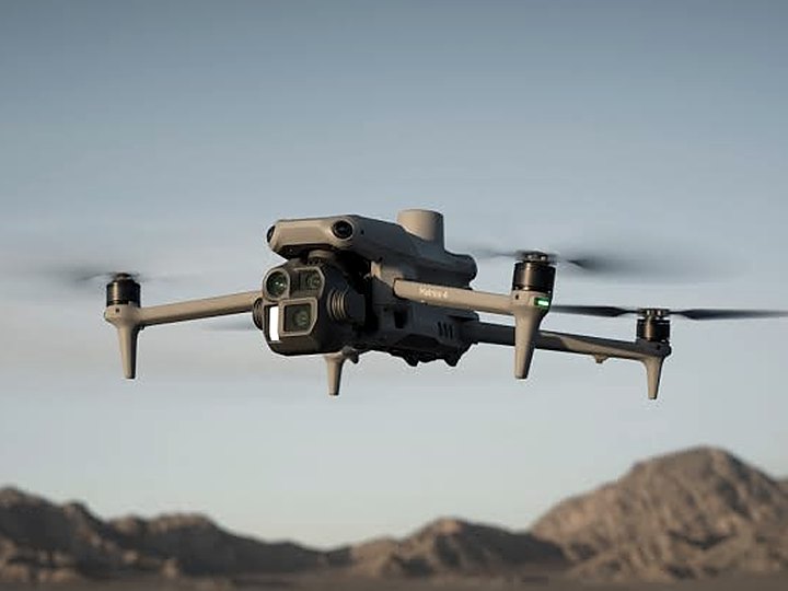
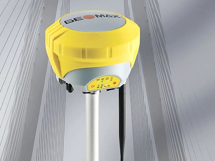
The building measured as it is, millions of points, navigable. Every later drawing is derived from this and can be checked against it.
Photographic elevations that are dimensionally correct, so a facade can be measured from the image itself and read alongside the line drawing. Photogrammetry processed in Metashape and CloudCompare.
Plans, sections and elevations of the building as built, ready for the designer, the engineer and the permit application. CAD drawings and QGIS mapping, in open formats your architect can work from anywhere.
Digital surface model and textured 3D model, for sites where levels, roofs and volumes matter as much as the plan.
The files are delivered to you in open formats and archived for ten years. They are yours: you can hand them to any designer, anywhere, without coming back to me.
A first written opinion and a fixed quote within 48 hours, at no cost.
Request a property check